Overview
A Timeline of Our History
A chronology of the Wei Wai Kum Nation and the Liǧʷiłdax̌ʷ people, from the first recorded European contact in 1792 through the treaty and self-governance work of today.
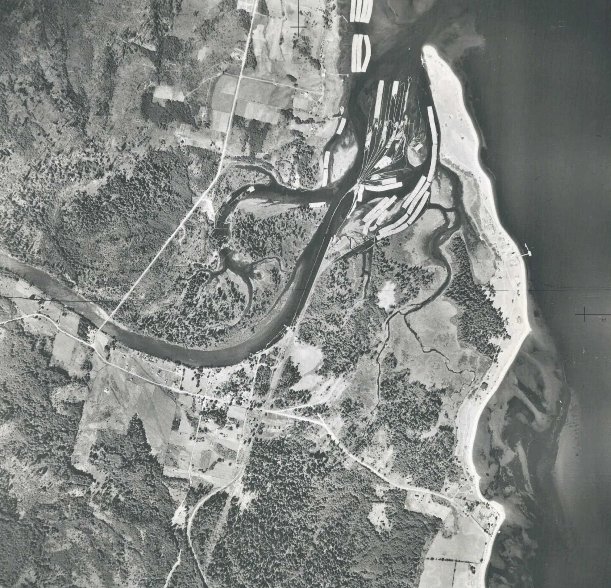
Contact and Territory
1792 – 1875
European ships arrive in Liǧʷiłdax̌ʷ waters. Over the following decades, colonial surveys and naval vessels press against a territory reaching from the Salmon River to Desolation Sound.
Vancouver (Britain) and Galiano/Valdez (Spain) sail into Liǧʷiłdax̌ʷ waters.
Simpson meets Liǧʷiłdax̌ʷ people at Salmon River and Johnstone Strait.
Salish-Liǧʷiłdax̌ʷ conflict is recorded between 1827 and 1830 in the Fort Langley Journals.
By about this time, Liǧʷiłdax̌ʷ people had expanded their territory to included Desolation Sound.
William Fraser Tolmie recognizes Liǧʷiłdax̌ʷ territory includes Desolation Sound.
Around this time, the Salish-Liǧʷiłdax̌ʷ confict is over, peace is found through intermarriage and friendships.
- Father Demers meets Liǧʷiłdax̌ʷ man and respected warrior at Fort Langley, notes recent peace.
- Father Demers notes Liǧʷiłdax̌ʷ have a village near the mouth of the Fraser River.
- Douglas and Simpson witness a celebration in “Comox Country” around Willow Point, including Kwakwaka̓wakw people from further north. Historian E.E. Rich notes that “Comox Country” refers to the area and not the people, in reference to the region’s abundance. The K̓ómoks people were not yet known by this name and were comprised of remnant Salish-speaking groups retreating to around the Puntledge River.
- Douglas and Simpson meet an unarmed group of Liǧʷiłdax̌ʷ men, including a high-ranking man named Nəǧedᶻi, at Texada Island.
Yaculta Rapid renamed “Sir George Seymour Narrows”.
Colony of Vancouver Island established when Great Britain declared the island an official Crown colony to secure its territorial claims on the Northwest Coast.
William Downey, surveyor, finds Salish people fear Liǧʷiłdax̌ʷ people and is told Liǧʷiłdax̌ʷ frequent the head of Bute Inlet.
The British Royal Navy’s gunboat H.M.S.* Forward destroys a Liǧʷiłdax̌ʷ village at Cape Mudge, that was fortified by a wooden stockade barrier. (*Her Majesty’s Ship)
- British Colonist newspaper notes conflict between Liǧʷiłdax̌ʷ and Tsilhqot̓in on the Homathko River at the head of Bute Inlet.
- Liǧʷiłdax̌ʷ are recorded fishing at the head of Bute Inlet.
- H.M.S. Forward fires upon upon Haida people camped opposite Cape Mudge.
H.M.S. Forward tells Liǧʷiłdax̌ʷ people to leave Comox Harbour where they were fishing.
H.M.S. Cameleon tells Liǧʷiłdax̌ʷ people to leave Comox Harbour where they were fishing.
Marcus Smith writes that the Liǧʷiłdax̌ʷ are living at Saaiyouck and Tatapowis in Desolation Sound.
The Indian Act Era
1876 – 1930
The Indian Act, reserve commissions, the potlatch ban, and the sale of ʔux̌ʷstilis (Tyee Spit) reshape Wei Wai Kum lands and community life.
First Indian Act passed.
About this time the first settler, Harry Kemper, arrives at Campbell River.
Sproat, the first Reserve Commissioner, visits Liǧʷiłdax̌ʷ people. Identifies reserves for Liǧʷiłdax̌ʷ people from Salmon River to Desolation Sound. He accomodates Harry Kemper’s interests at Campbell River.
Indian Agent George Blenkinsop assigned.
Potlatch banned.
- After only a brief visit, Reserve Commissioner O’Reilly identifies
- Indian Reserves for the Liǧʷiłdax̌ʷ people from Salmon River to Cape Mudge, ignorning several of Sproat̓s 1879 recommendations.
Indian Agent Reginal Pidcock assigned.
Surveyor Ashdown Greene surveys Campbell River Indian Reserve (IR) 11. Leaves out parts of what would become Campbellton that were Liǧʷiłdax̌ʷ gardens and fishing spots.
Indian Agent George DeBeck assigned.
Indian Agent William Halliday assigned.
International Timber Company granted permission by Department of Indian Affairs to access the estuary via IR 11 for $100/year.
- Royal Commission on Indian Affairs Commissioners visit Wei Wai Kum and other Liǧʷiłdax̌ʷ and confirm the reserves.
- Charlie Smith told Royal Commission that IR 11 keeps being made smaller and that the road through the reserve was used without permission or payment. Charlie also said International Timber was removing sand from IR 11 without payment or permission.
International Timber seeks to purchase IR 11.
- International Timber seeks to purchase 160 acres of IR 11.
- Indian Agent Halliday and RCMP Sergeant Angermann meet with Wei Wai Kum to confirm sale to International Timber for $250/acre plus the cost of rebuilding. The price was reduced to just over $200/acre.
- Indian Affairs approved the sale of ʔux̌ʷstilis (Tyee Spit) in 1921. Wei Wai Kum families had to move.
- Potlach at Village Island resulting in multiple arrests, including Liǧʷiłdax̌ʷ people.
Indian Agent Halliday oversees potlatch trials and Liǧʷiłdax̌ʷ people sent to Oakalla Prison for participating in the 1921 potlatch.
Elk River Timber Company purchased ʔux̌ʷstilis (Tyee Spit) from International Timber Co.
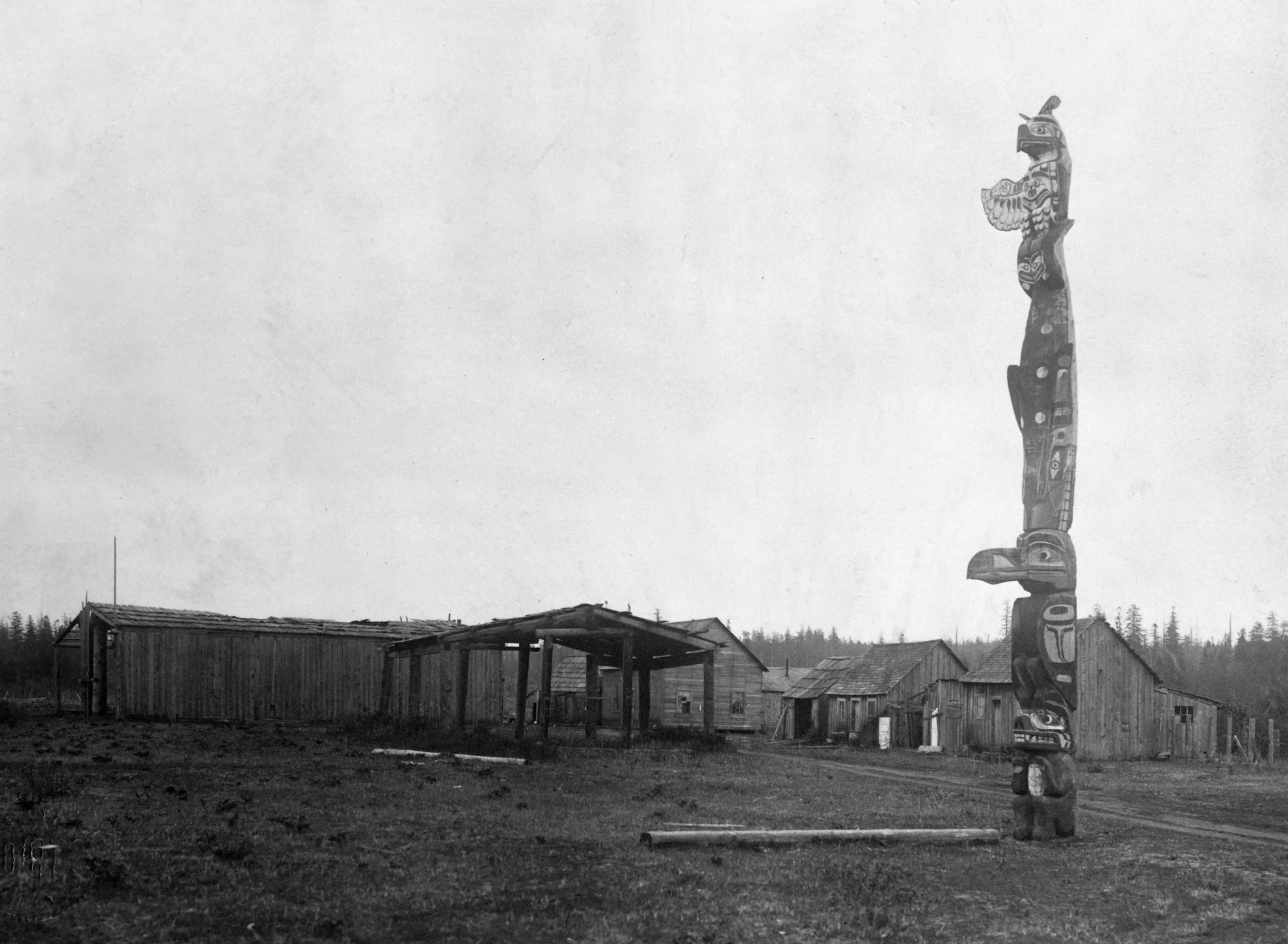
Reclamation, Enterprise, and Treaty
1980 – 2026
Wei Wai Kum builds Discovery Harbour, revives ocean-going canoe culture, adopts its own Land Code, and works through the treaty process toward self-governance.
BC Forest Products/Fletcher Challenge purchased ʔux̌ʷstilis (Tyee Spit).
Timberwest purchased ʔux̌ʷstilis (Tyee Spit).
Breakwater construction.
Dredging takes place.
Foreshore Landfill and reclamation.
- Discovery Harbour Marina Opens, a Wei Wai Kum First Nations Enterprise
- Construction begins for the Discovery Harbour Shopping Centre, an enterprise co-owned by Wei Wai Kum and Northwest Properties.
- Land exchanges and highway-related transfers finalized for re-routing for what is now Highway 19A.
- Homalco reserve created in Campbell River with no consultation or consent from Wei Wai Kum. (Canada approved it in 1991 via provincial order. Construction began in 1992.)
- Canoe carved using a cedar log over 980 years old for the first Tribal Journey to Bella Bella, which marked the historic return of ocean-going canoe culture to the central coast of British Columbia, drawing over 30 traditional canoes and thousands of participants.
- Treaty Stage 1: 1993 15 LKT and Kwakwaka’wakw Nations enter Treaty Process. Complete Stage 1.
City of Campbell River purchased ʔux̌ʷstilis (Tyee Spit).
- Treaty Stage 2 completed.
- Kwakiutl-Laich-Kwil-Tach Nations Treaty Society (KLNTS) begins and is declared “Ready” for Negotiations.
- Treaty Stage 3 Completed (Framework Agreement).
- Discovery Harbour Shopping Centre opens.
K’ómoks joins Treaty Society.
Hamatla Treaty Society begins (Tlowitsis, We Wai Kai, Wei Wai Kum, Kwiakah, & K’omoks).
Hamatla Treaty Society (We Wai Kai, Wei Wai Kum, Kwiakah, & K’ómoks).
Hamatla Treaty Society membership change (We Wai Kai, Wei Wai Kum, & Kwiakah).
Hamatla Treaty Society changes its name to Laich-Kwil-Tach Treaty Society (We Wai Kai, Wei Wai Kum, & Kwiakah).
Wei Wai Kum First Nation Land Code takes effect (April 1), giving the Nation authority over its own reserve lands in place of the Indian Act’s land-management provisions.
Wei Wai Kum-Kwiakah Treaty Society created (Wei Wai Kum and Kwiakah).
Judicial Review of the Homalco Incremental Treaty.
Negotiated the Wei Wai Kum First Nation/Kwiakah First Nation Transition to Stage 5 and Treaty Revitalization Agreement.
Wei Wai Kum Incremental Treaty Agreement (ITA) signed.
Wei Wai Kum begins to negotiate Treaty independently.
- Mowachaht/Muchalaht Overlap Agreement Signed- January 29
- Addition To Reserve is completed. Indian Reserve (IR) 13 is created.